I’ve just about got my new Konnected Alarm Panel Pro (APP) Interface Kit completely installed and working with my Vista-20P alarm panel and Hubitat C-8 automation controller. Everything seems to work pretty well, and I thought I’d note a few things here about my experience setting it up.
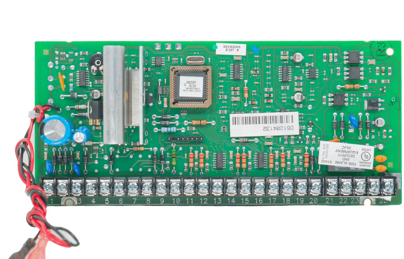
As I alluded in a recent post, I managed to fit all of the Konnected boards into my Vista-20P enclosure, but it was a tight squeeze along with all of the existing junk in there (zone expander, battery, terminal strips, wire, etc).
I started out by wiring up the zones I wanted to monitor. Most of them were attached to one of two zone expanders and wired with 1k-ohm EOL resistors. These all worked “out of the box” without the need for any tuning on the APP interface board. The only zone I had to tune was one that was wired to the main Vista-20P board as a “zone doubled” zone, with a 6.2k-ohm resistor. This required a slight adjustment to the tuning screw, but subsequently worked without a hitch. Also of note is that one of my zone expanders is mounted remotely, around 30′ or so from the panel. I had 4 zones there that I wanted to use with the APP, which meant that I needed 4 extra wires running between the expander and the panel. It worked out that I was able to reuse an existing 4x22AWG cable that was already there, sparing me from having to run more wire in the attic. With everything wired up, I was able to test things out by faulting the zones, watching the status LEDs on the expansion boards turn on and off, and monitoring the zone status on the APP’s web interface.
I then went to the Konnected app to configure the zones and generate new firmware for the APP. In the app’s panel settings section, there’s an “Alarm System Interface” section that appears to be a one-stop shop to configure the Keyswitch and Arm/Disarm/Tripped status zone settings, but it did not work for me. I had to go in and manually configure these (see below) to get the appropriate buttons and zones to show up on the web interface. Other than that, the app-based configuration and firmware flashing worked fine, although it never seemed to detect when the panel had finished restarting, always giving me a message to “restart the app” and confirm that it had updated to the correct firmware version. Each time I did that (3 or 4 times) I found that it had updated everything correctly.
I used zone 1 on the Vista-20P for my keyswitch zone. This works fine, but I had to wire a 2K-ohm resistor IN PARALLEL with the zone wiring, which is contrary to what the Konnected documentation shows. This was easy enough to do: just attach the resistor inside the panel between terminals 8 and 9. Then, I connected the OUT1 and OUT2 pins on the APP to the IN pins on the two Konnected interface boards, and ran wires from the relay terminals on both boards to Vista-20P terminals 8 and 9. I also checked to make sure that both relays were jumpered to NO, and the ALARM2/OUT2 switch on the APP was set to OUT2. On the Konnected app, I programmed OUT1 and ALARM2/OUT2 as Momentary Buttons, with duration set to 600ms for one of them (for arm away) and 2000ms (2 seconds) for the other (for arm stay). I had initially tried 1200ms for the latter, but it wasn’t long enough (the panel armed “away” instead of “stay”).
I wanted to monitor armed “stay” status separately from armed “away”, so I used the two Vista-20P triggers for this, attaching each to a separate zone on one of the APP interface boards. The only confusing bit here is that there’s no zone type on the Konnected app that is really appropriate for a dry-contact relay zone. I just had to tell the app that they were window zones. Once wired up and programmed, both zones worked fine once I programmed the trigger output devices and actions into the Vista-20P (Konnected has fairly good documentation for this process). Pro tip: you can test the relays on the Vista-20P by using [Master Code}-#7-[Device Number] to activate and [Master Code]-#8-[Device Number] to deactivate. For example, if the master code is 1234 and you want to activate trigger 1 (device 17), the sequence would be 1-2-3-4-#-7-1-7. This is useful if, e.g., you want to test the alarm tripped status relay without having to actually set the alarm off.
Konnected’s documentation uses a single trigger for armed status, and the other trigger for alarm tripped status. However, with my setup, both triggers are in use for monitoring armed status, so I needed a third trigger to detect an alarm condition. I was able to use one of my zone expander relays for this. Unlike the panel triggers, the zone expander relays use an isolated circuit, so the common pin is not connected to the panel ground. So, to get the relay to work as a “zone”, I had to add a wire between the common pin and the panel ground screw on the expander, as well as connecting the NC pin to the appropriate zone terminal on the Konnected interface board. I should probably make a diagram of all this…
Last but not least was getting this to work with Hubitat, which was fairly straightforward. I installed the Konnected driver via Hubitat Package Manager (HPM), created a virtual device for the panel, and pointed it to the APP’s IP address. The docs stated that it would automatically create child devices for all of the zones, but I was impatient and hit the “Initialize” button, whereupon it populated everything right away. I was a little nervous that re-flashing the APP would delete and recreate all of the devices in Hubitat (potentially messing up automations) but that was not an issue: all of the existing zones continued to work, and new zones that I added showed up automagically after several minutes (no need to hit “Initialize” again). One thing I did notice was that when I renamed a zone from “Armed Away” to “Armed Away Indicator” (and changed the zone type), the old “Armed Away” device stuck around in Hubitat until I manually deleted it. Not really a big deal.
The next step is to start using all of these new devices in some automations, and see how reliably everything works over time. I will report back on that eventually. In the meantime, it seems to work as advertised, and setting everything up was a fun way to spend this craptastically frigid and icy day.