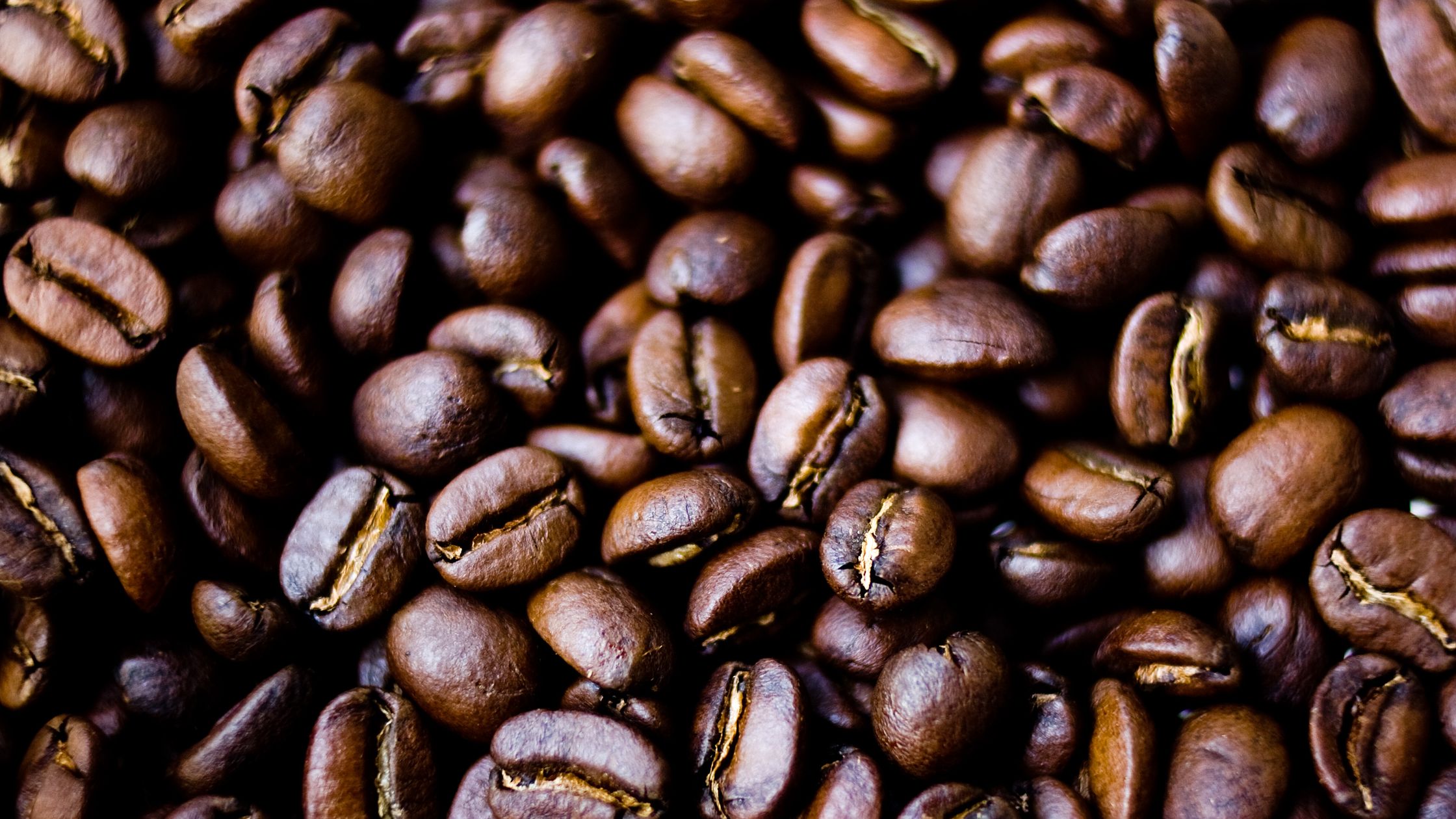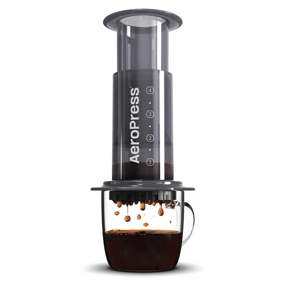
I brewed the exact same recipe as yesterday morning, except I used my Lost Dog “La Esparanza” medium/medium dark blend. The result was another pleasant, well-balanced cup. I’ve gotten mixed results with these beans using a couple of other recipes, with some success, but most of my more recent attempts have tasted kind of sour and under-extracted. That was not the case today. Whether it was the absolute best cup I’ve ever gotten from the beans is up for debate, but either way, this one gets the thumbs-up. I think I’ll try this recipe with another medium roast tomorrow.
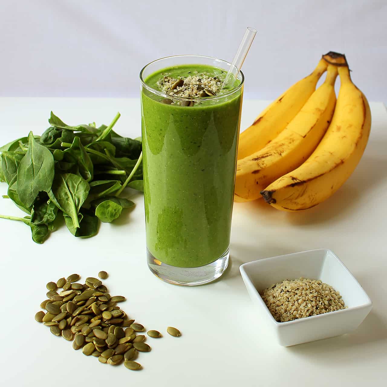
On a totally unrelated note, we’ve had a bunch of red grapes sitting on the counter for a few days, and today, I tried tossing a few into one of my smoothies. I didn’t think it would be very good, but it actually wasn’t bad. I noticed a little bit of extra sweetness from the grapes, but not much of a grape flavor, I guess because the other ingredients kind of overpower it. That said, I didn’t add too many grapes, so I wonder how it would be with more of them in there.