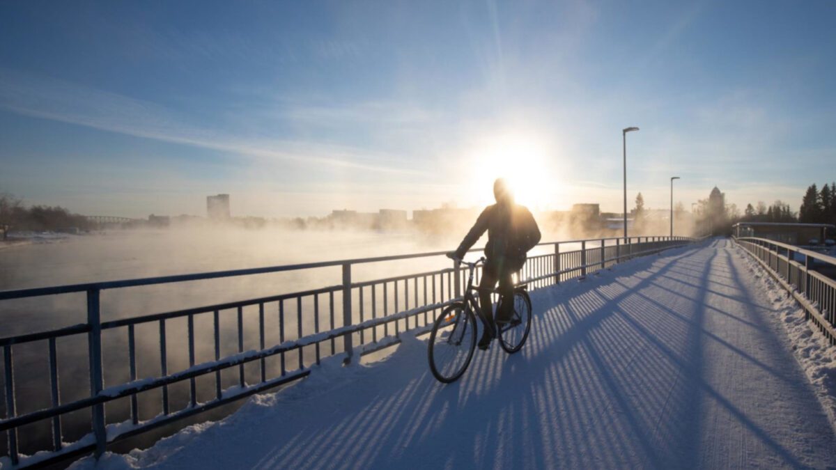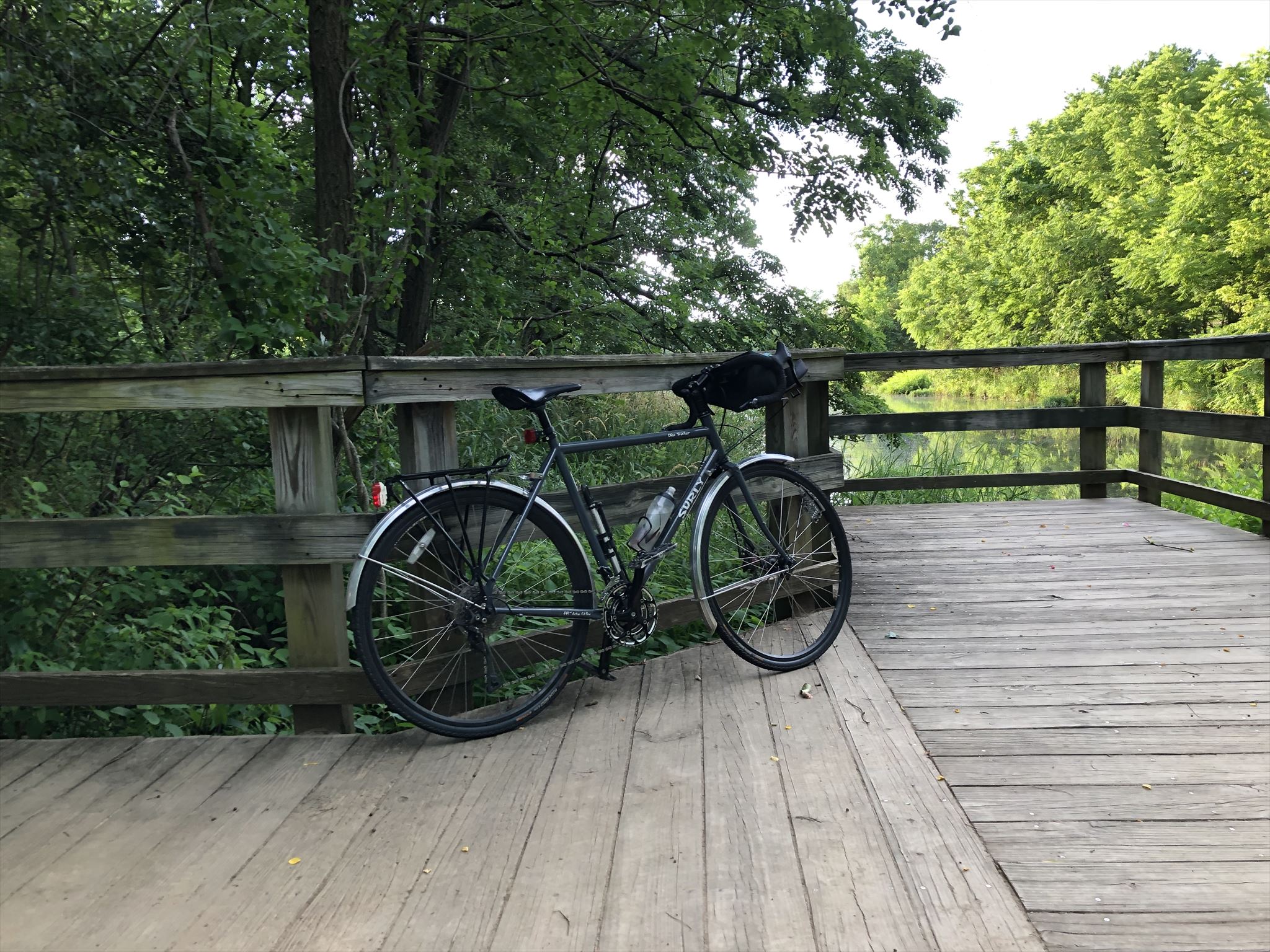
I got out this morning and ran into Patapsco Valley State Park via River Rd., out to the swinging bridge, and back via the Grist Mill Trail. Although I bike through PVSP all the time, I had not run there in probably 15 years. It’s a route I had been wanting to try for a while, but it is 8.5 miles round trip, requires cutting through a school, and starts and ends along a road which is both hilly (downhill outbound and uphill inbound) and not pedestrian-friendly. On the plus side, 95% of the route is shaded, and over half of it is in the park. It’s not a bad route for summer, when school is out and there’s less traffic on the roads. Today, I cut it short at 8 miles, and walked the remaining 0.5 mile home. The uphill finish was not all that fun, but other than that, it was a pretty nice run. Once school starts, there’s always the option of taking the car, parking along Levering Ave., and just running the park portion, but that would only be 4 to 5 miles (unless I do it twice, which is an option).
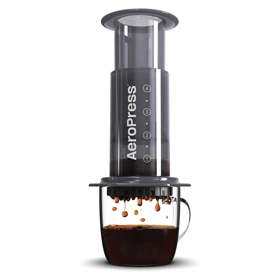
I brewed the same coffee beans and recipe this morning as I did four days ago, and as I was hoping, the cup tasted about the same. I’m looking for a recipe that gives me consistent results with a wide variety of beans, and this bodes well. I am wondering if I can scale the recipe for a slightly larger cup (say, 200 to 210 grams) without having to resort to using a bypass. A 210-gram cup would call for roughly 15 grams of coffee for a 1:14 ratio, and 35 grams of water for the bloom. I guess I can try it and see if there’s enough room for all of that in the inverted AeroPress.